Walking Cap-Ferrat: three coastal paths
Cap-Ferrat is very good at making it look as though everyone owns a villa behind the pines. Good news: the coastal path belongs to the rest of us.
Mametas CheckedRoutes, access and transport rechecked 23 September 2026 · official sources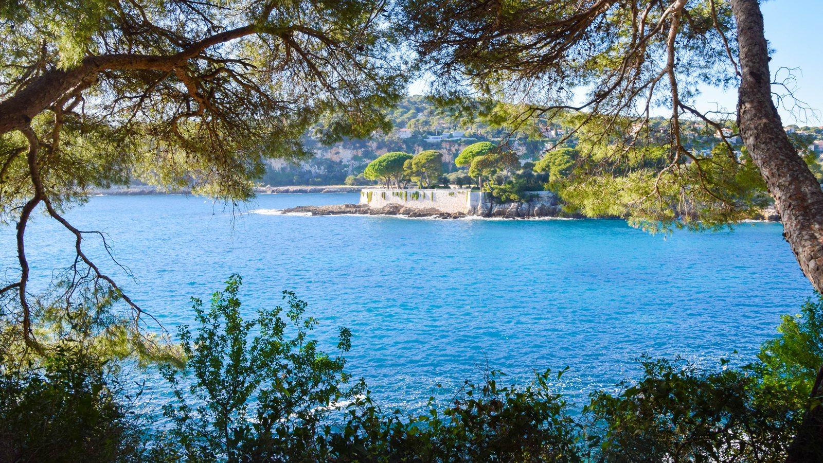
No-car and first time? TER (regional train) to Beaulieu, walk Maurice Rouvier into Saint-Jean, then add Saint-Hospice if you still want more sea. Save the full Tour du Cap for a day when the walk itself is the plan.
1. Maurice Rouvier: easiest
The official route links Beaulieu-sur-Mer and Saint-Jean-Cap-Ferrat for 1.3 km in 20 to 30 minutes (the two tourist offices give different times). It is paved, essentially flat and the only one of the three officially described as suitable for city pushchairs.
Best use: arrive by TER at Beaulieu-sur-Mer, walk past the Baie des Fourmis and Villa Kérylos side, then continue along the water into Saint-Jean-Cap-Ferrat. It gives you the Cap without requiring hiking shoes or a heroic personality.
Start. Beaulieu-sur-Mer / Baie des Fourmis side. Open start map ↗︎ · Official route ↗︎
2. Pointe Saint-Hospice: best short loop
At 1.8 km and around 40 minutes, Saint-Hospice is compact but feels much more exposed to the coastline. The official route is rated moderate, with rock and gravel surfaces, and is not suitable for pushchairs.
You can detour about 100 metres uphill from the coastal route to the Saint-Hospice chapel, bronze Madonna and the military and marine cemeteries; the tourist office suggests about 20 minutes for that return detour. Paloma, Les Fossettes and the changing views towards Monaco and Italy make this the best ratio of effort to scenery.
Start. Port of Saint-Jean-Cap-Ferrat, then towards Paloma / Saint-Hospice. Google Maps ↗︎ · Official route ↗︎
3. Tour du Cap: the proper walk
The official Tour du Cap is 4.8 km, about 2 hours and only 40 metres of elevation, but do not confuse low elevation with urban pavement. The path runs along limestone cliffs and reefs, passes below the Grand-Hôtel du Cap-Ferrat, reaches the lighthouse and Malalongue point, then follows the western side to Passable.
The tourist office specifically says it is not suitable for pushchairs and advises against it for people prone to vertigo. From Passable, return to the village via Chemin de Passable and Avenue Denis Séméria.
Start. Chemin de la Carrière, Saint-Jean-Cap-Ferrat. Open start map ↗︎ · Official route + GPX ↗︎
Getting there without a car
From Nice: TER to Beaulieu-sur-Mer, then either start Maurice Rouvier on foot or change to Lignes d’Azur bus 15 towards Port de Saint-Jean. The tourist office also lists bus 15 direct from central Nice via Port Lympia. From the airport, tram T2 to Port Lympia then bus 15 is the simplest route entirely by public transport.
Official access guide ↗︎ · Lignes d’Azur live times ↗︎
What to bring
Water, sun protection and proper shoes for Saint-Hospice or the full Cap loop. There is shade in places. After strong wind, swell or bad weather, coastal paths can be temporarily closed, so check before leaving.
To sleep closest to the paths: Villefranche and Cap-Ferrat hotels, or Beaulieu hotels.