Corniche d’Or: drive it, train it, or walk it?
Here the Riviera changes colour. The sea stays blue, the rock turns red, and the useful question is not whether to go, but how.
Mametas CheckedRoute, rail and hiking access rechecked 23 September 2026 · official sources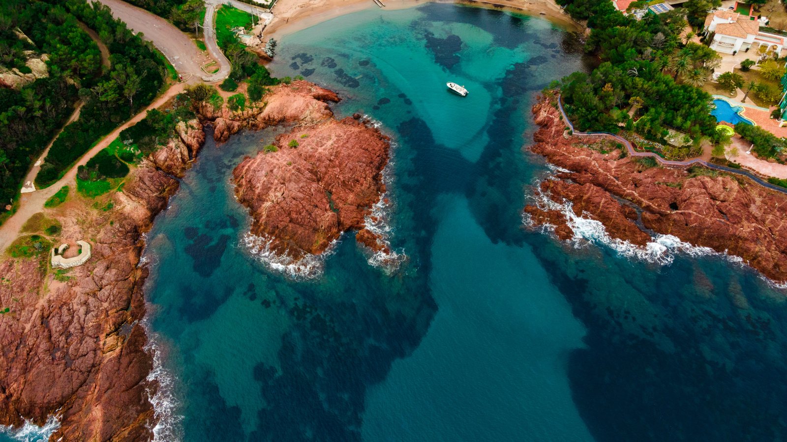
Want the whole Corniche and freedom to stop at viewpoints and coves? Take a car. No car? Take the TER to Théoule or farther along the line and build a smaller day. Do not pretend the train and road are identical experiences. They are both good, just differently good.
With a car: this is what the road was made for
The Corniche d’Or follows the Estérel shoreline for roughly 30 kilometres between the Cannes/Théoule side and Saint-Raphaël. The route was inaugurated in 1903 and remains one of the clearest ways to see the contrast between red volcanic rock and Mediterranean blue.
The mistake: driving it straight through. Allow time for viewpoints, Agay, Anthéor and one short walk or swim. The road is the attraction.
Open the coastal route ↗︎ · Official Corniche guide ↗︎
Without a car: use the train wisely
The TER follows the same broad coastline, with stations including Théoule-sur-Mer, Le Trayas, Anthéor-Cap-Roux and Agay. It is not a hop-on-hop-off metro: frequencies are lower than on the Nice-Antibes-Cannes axis, so check the return train before wandering off towards a cove.
SNCF currently shows around 16 journeys a day between Cannes and Théoule-sur-Mer, with an average journey of about 11 minutes. That makes Théoule an easy first no-car taste of the western Riviera without committing to the entire Corniche.
Cannes-Théoule live trains ↗︎ · Théoule station map ↗︎
The easy walk: Rocher Saint-Barthélémy
If you want red rock and sea views without turning the day into a mountain operation, the official Rocher Saint-Barthélémy route is a strong answer: 3.2 km, around 1h40, 77 m ascent. Much of the route is paved and the tourism office lists it as accessible to people with reduced mobility.
The start is reached from the Agay / Estérel side. If you are relying on public transport, plan the final access carefully rather than assuming the station deposits you at the trailhead.
Official route + GPX ↗︎ · Google Maps ↗︎
Swimming and stopping
The pleasure of the Corniche is the succession of coves and small coastal stops rather than one single “best beach”. If swimming matters, choose one section and leave some slack in the day. In summer, roadside parking and access can become the least photogenic part of the experience.
Summer fire risk: check before walking
From roughly mid-June to the end of September, access to the Estérel massifs can be restricted according to wildfire risk. Official information is updated daily. A route that was perfectly open yesterday is not a promise for today.